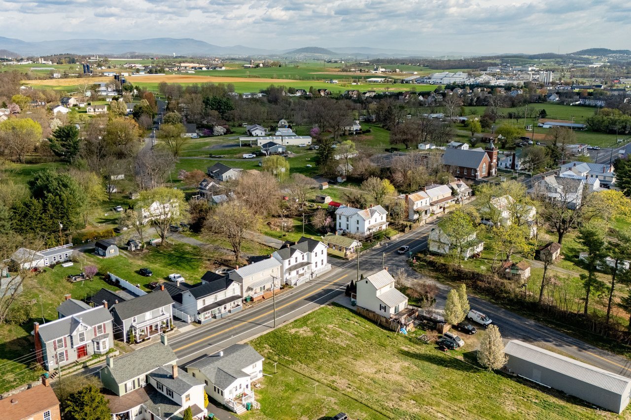
Drive south on Route 11 through Mount Crawford and you cross two different decades in about a mile. Near the interstate interchange, Buc-ee's parking lot is full most afternoons, tour buses and pickup trucks pulling in for gas and jerky. A few blocks north, Main Street still runs past 1908-vintage houses and a handful of antique shops that have sat in roughly the same spots for years. Most towns this size pick a lane. Mount Crawford, population somewhere around 470, is trying to run both at once, and this year the two halves of that bet finally started paying into the same account.
The town spent 2026 collecting the receipts on a decision it made back in 2025: let a Texas travel-center chain build its first Virginia location at the edge of town, then use the tax revenue that follows to protect the oldest part of Main Street from ever looking like a Buc-ee's parking lot. That's not a coincidence of timing. It's the actual mechanism behind Mount Crawford's year, and it's worth understanding if you live here, because it changes what "downtown" is going to mean over the next several years.
The Meal Tax Doubled, and None of It Stayed on the Highway
Buc-ee's opened June 30, 2025. A year later, Rockingham County had the numbers to show what that meant beyond traffic counts.
| Fiscal Year | County Meal Tax Revenue |
|---|---|
| FY2025 | About $2.79 million |
| FY2026 | About $5.52 million |
County Administrator Casey Armstrong gave those figures to WHSV in July 2026, and the jump is close to double. Some of that growth is coming from other new restaurants around the county, including additions on Stone Spring Road, so Buc-ee's isn't the entire story. But Armstrong also said the store has been outperforming the county's own projections, which had put Buc-ee's meal tax contribution at over $2 million a year on its own. Under the incentive deal that brought the store to Mount Crawford, Buc-ee's gets a 50 percent rebate on its food and beverage tax for its first ten years, so the county isn't keeping all of even that slice. What it is keeping has already shown up in something concrete: Armstrong pointed to Buc-ee's sponsorship of a new sensory room at the county recreation center as an example of the store acting, in his words, as a fast and easy partner to work with.
That's the part easy to miss if you only think of Buc-ee's as a highway attraction. The money isn't staying at the interchange. It's moving inland, toward county facilities that have nothing to do with gas pumps or beaver mascots.
Main Street Just Got Legal Protection It Didn't Have Before
While the county was counting meal tax dollars, the town itself was finishing a longer project: getting Main Street formally recognized as historic.
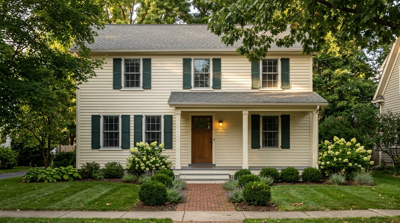
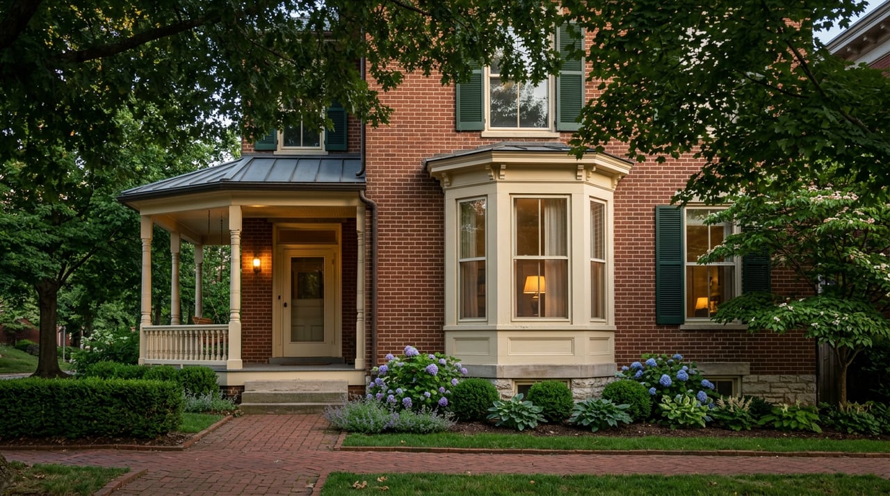
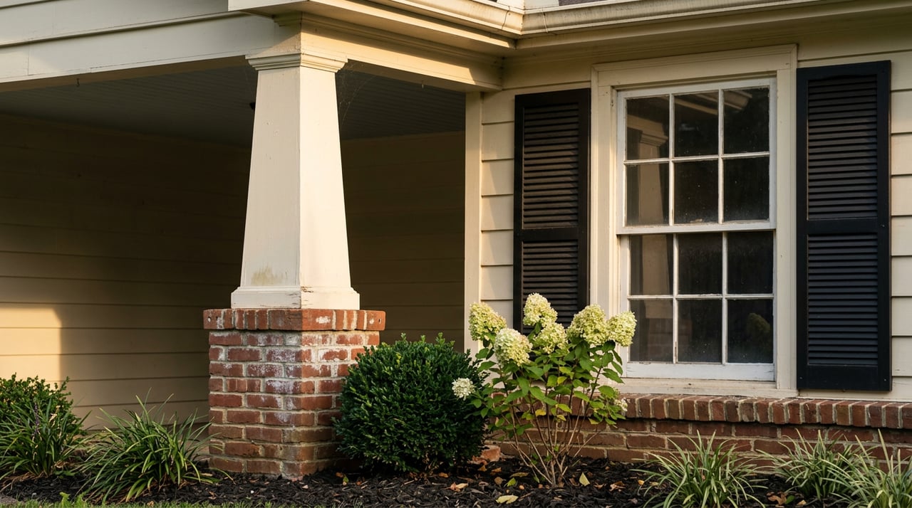
On June 18, 2026, Virginia's Board of Historic Resources approved the Mount Crawford Historic District for the Virginia Landmarks Register, one of 15 properties statewide approved that quarter. The designation covers the stretch of Main Street, Old Bridgewater Road, Mill Street, Cemetery Drive, and Parsons Street that developed as a turnpike town along the Valley Pike, what's now U.S. Route 11, starting in 1825. The nomination describes a mix of combination house-and-store buildings and purpose-built commercial structures from the early 1900s, several of which still stand with their original form intact.
The push behind the designation had a distinctly local, distinctly recent story attached to it. As Mount Crawford approached its 200th anniversary, Town Manager Libby Clark worked with JMU archaeologist Dr. Carole Nash to secure a Virginia Department of Historic Resources grant, which paid for the architectural firm Hill Studio to survey the town and prepare the nomination. Nash folded the project into her Geography 415 course, and 18 students spent a semester interviewing residents, digging through archives, and mapping how the North River, Route 11, and the town's churches shaped daily life here. Clark told JMU's news office that some of the town's oldest houses are actually log structures hiding under vinyl siding, and that the designation helps protect buildings that are a hundred or two hundred years old.
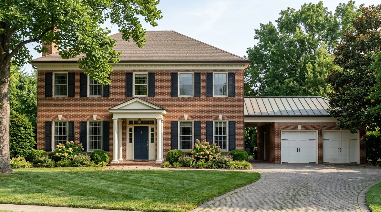
The designation itself doesn't restrict what property owners can do with a building. What it opens up is access to historic rehabilitation tax credits for anyone doing restoration work on a contributing structure, which is a meaningful incentive for the owner of a century-old house who's been putting off a roof or a foundation repair. It also means the next time someone proposes something dramatically out of character for that stretch of Main Street, there's now a formal record establishing what "in character" actually means.
The Park That's Supposed to Connect Both Halves
The physical link between the highway commerce and the historic core was always meant to be a six-acre stretch of land the town has been calling North River Park, planned for the site between Route 11 and the North River boat launch behind the town's municipal building.
The town secured a $303,000 grant from the Virginia Outdoors Foundation toward an estimated $300,000 to $320,000 project that calls for a pavilion, a playground, restrooms, and hiking trails, with parking at the top of the property. Landscape architect Craig George told the town council the flood-plain portions of the site would need careful handling so nothing gets washed out after the first heavy season, but the vision was straightforward: a real gathering spot within walking distance of both the historic downtown and the river access point that's existed quietly behind the municipal building for years.
The most recent public timeline on record called for finishing the project by the end of 2025. There's no newer town announcement confirming construction has wrapped, so if you've been waiting to see the pavilion finished, the honest answer right now is that it's further along than the concept map but the town hasn't published a completion date. Worth checking the town's own site or a council meeting agenda if you want the current status, since the last confirmed public update predates this article.
What Actually Changes If You Live Here
None of this rewrites Mount Crawford overnight. It's still the kind of place where the swim guide for the North River launch warns you to bring more water than you think you need and to wear closed-toe shoes, and Overlook Produce & Farm Adventures and Mount Crawford Creamery are still the closest thing to a Saturday routine for a lot of households. The Green Valley Book Fair is still a short drive up the road. None of that is going anywhere.
What's different is the direction the town's two economic engines are now pointed. The highway side is generating real money, more than the county projected, and at least some of it is landing on projects inside the county that have nothing to do with retail. The historic side just got a legal designation that gives Main Street property owners a financial reason to restore rather than replace, backed by a documentation project that pulled in actual JMU research rather than a boilerplate historic preservation form. And the park sitting between them, once finished, will be the first shared public space that ties the two together instead of leaving them as separate destinations a few blocks apart.
If you've lived in Mount Crawford long enough to remember when Route 11 traffic was mostly local, this is the year that logic started running in both directions. The travel center at the edge of town isn't competing with Main Street. It's quietly bankrolling the reasons to protect it.
If you're curious what a home inside the new historic district looks like on paper, or want a neighborhood-level read on how Mount Crawford compares to nearby towns like Bridgewater or Dayton, the team at Nest Realty Harrisonburg tracks this corridor closely and is glad to talk through what you're seeing on the ground.